Charting Texas
A History of the State Through Maps
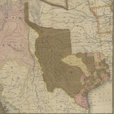
This exhibition features maps and books, documenting several centuries of exploration and political competition for one specific area of North America — Texas. With advancements in geographic knowledge, surveying techniques, and printing technology, one can begin to see Texas taking its now familiar form from the earliest depictions in the 16th Century.